We give Geospatial Solutions
to your City
FME · MAPIA · QGIS · ORACLE · ESRI · BENTLEY · AUTODESK
CONSULTA ELS NOSTRES SERVEIS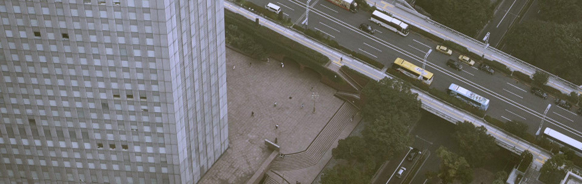
We give Geospatial Solutions
to your Infrastructures
Satellite · Photogrammetry · Lidar · BIM · 3D City Model
CONSULTA ELS NOSTRES SERVEIS
We give Geospatial Solutions to your Business
Analytics · Integration · Visualization · Dashboards · Intelligence
CONSULTA ELS NOSTRES SERVEIS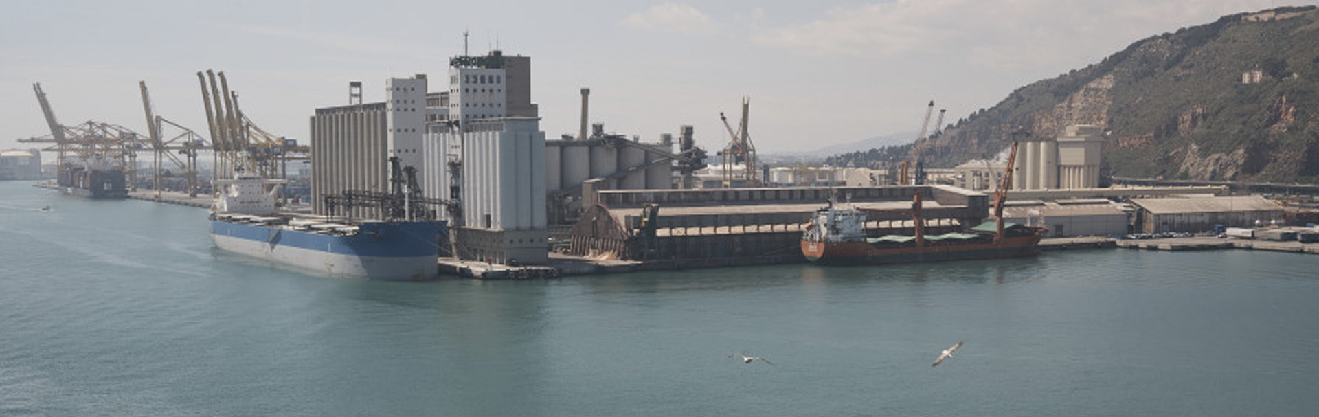
We give Geospatial Solutions to your Industry
CAFM · Fleet Management · Tracking · Data Entry · Ticketing
CONSULTA ELS NOSTRES SERVEIS